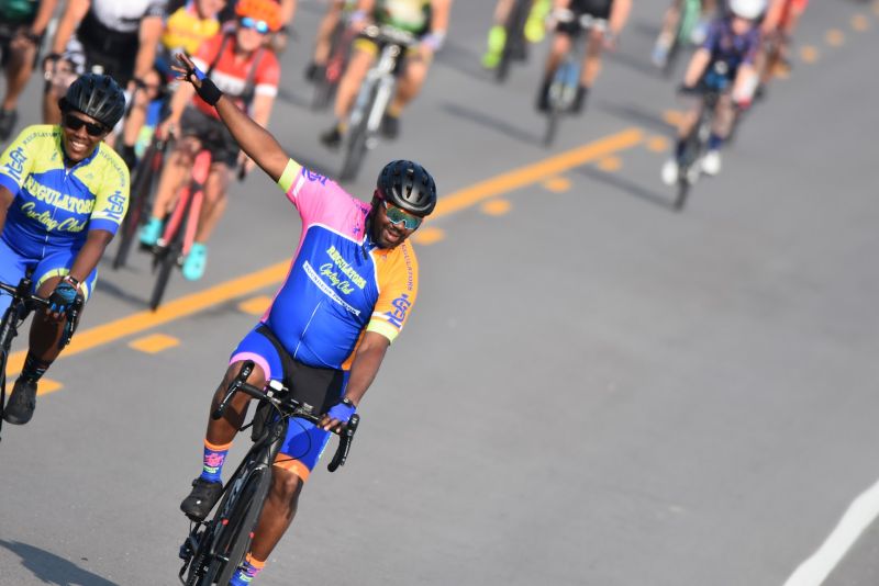
THE TOUR DE CORN RIDE EXPERIENCE
Flat. Fast. Friendly. Fun.
Tour de Corn is known for some of the flattest cycling routes in Missouri. All routes travel through the open farmland of the Missouri Bootheel, offering smooth pavement, long sightlines, and minimal elevation gain.
Whether you’re riding 15 miles or completing a full 100-mile century, you’ll experience quiet Delta roads and unmatched small-town hospitality.
📊 Elevation Overview
Tour de Corn is known for its minimal climbing and steady terrain.
Approximate Total Elevation Gain:
🚴 15-Mile Route
Distance: ~16 miles
Total Elevation Gain: ~75 ft
Perfect for beginners, families, and first-time riders. A relaxed, fully supported introduction to Tour de Corn.
This shorter route provides a relaxed introduction to the Tour de Corn experience while still offering full support and rest stops.
🚴 30-Mile Route
Distance: ~31 miles
Total Elevation Gain: ~180 ft
A comfortable challenge for recreational riders.
The 30-mile route showcases the flat terrain that makes the Missouri Bootheel ideal for cyclists of all experience levels.
🚴 63-Mile Route
Distance: ~61–63 miles
Total Elevation Gain: 450 ft
Elevation Range: 305 ft – 345 ft
A strong endurance ride across wide-open Delta farmland.
With minimal elevation gain, this route is ideal for riders building toward a century or maintaining a steady endurance pace.
🚴 100-Mile Century Route
Distance: 99.6 miles
Total Elevation Gain: 972 ft
Elevation Range: 305 ft – 459 ft
One of the flattest century rides you can find.
The 100-mile route offers riders the opportunity to complete a full century on smooth, open roads with strong volunteer and SAG support.
If you’ve been looking for the right place to attempt your first century ride — this is it.
📍 GPS Files & Cue Sheets
GPS files and cue sheets for all routes will be available prior to ride day. Riders are encouraged to download route files to their cycling computers or phones.
Printed cue sheets will also be available at packet pickup.
🛑 Important Notes
2026 Maps
Each year, we work closely with the Missouri Department of Transportation and our local officials to ensure the routes are clear after any stress from winter or spring weather.
MAP MY RIDE
RIDE WITH GPS
2026 16-MILE ROUTE - CLICK LINK TO DOWNLOAD WITH CUES
2026 31-MILE ROUTE - CLICK LINK TO DOWNLOAD WITH CUES
2026 METRIC CENTURY ROUTE - CLICK LINK TO DOWNLOAD WITH CUES
<p>
Cyclists searching for a flat century ride in Missouri or a beginner-friendly charity bike route will find Tour de Corn to be an ideal event in East Prairie.
We can't thank everyone who worked the Tour De Corn enough. Your patience, hospitality, and understanding were overwhelming. Thank you so, so much!
--- Steve Steamboat O’Connor
Tour de Corn was highly recommended by some friends in the area. I had this crazy idea that I wanted to do a century on a fat bike and everyone said this was the place to do it. I have no idea where to begin, everything about the experience was absolutely amazing! The townsfolk go the extra mile, celebrating the event with the riders. The Friday night festivities were a blast and EVERYONE is so friendly. The routes were the best marked routes I have ever seen, I didn’t use a map and there was never any doubt about which way I needed to go. The SAG stops were perfectly spaced, manned by incredibly friendly people and well stocked with everything we needed to make the ride. Please give my THANKS to the farmers that had their sprinkler systems spraying the road - what a huge boost that was, and it felt amazing! During my 100.5 miles I was passed by at least 20 sag vehicles. They were constantly patrolling and supporting riders. I thought maybe they were circling me because I was on a fat bike and they were ready to evacuate me, lol. Law enforcement was present and patrolling the routes as well. Even on the open highway commuters all waved and moved well away from the riders. You have planned and executed an amazing event. It is very clear your community rally’s around and wholeheartedly supports this event. I can’t wait to return, and I will tell everyone that I can this event needs to be on their calendar. Thank you so much for all you did - your entire community is amazing and it meant so much to me to see how they embraced this event! I finished 100.5 miles on the fat bike! Many of my friends are blown away that I did, I’m very proud of the achievement, and your incredible community and amazingly well organized event will always be part of my story.
--- Brad Hicks
